
The urban forest
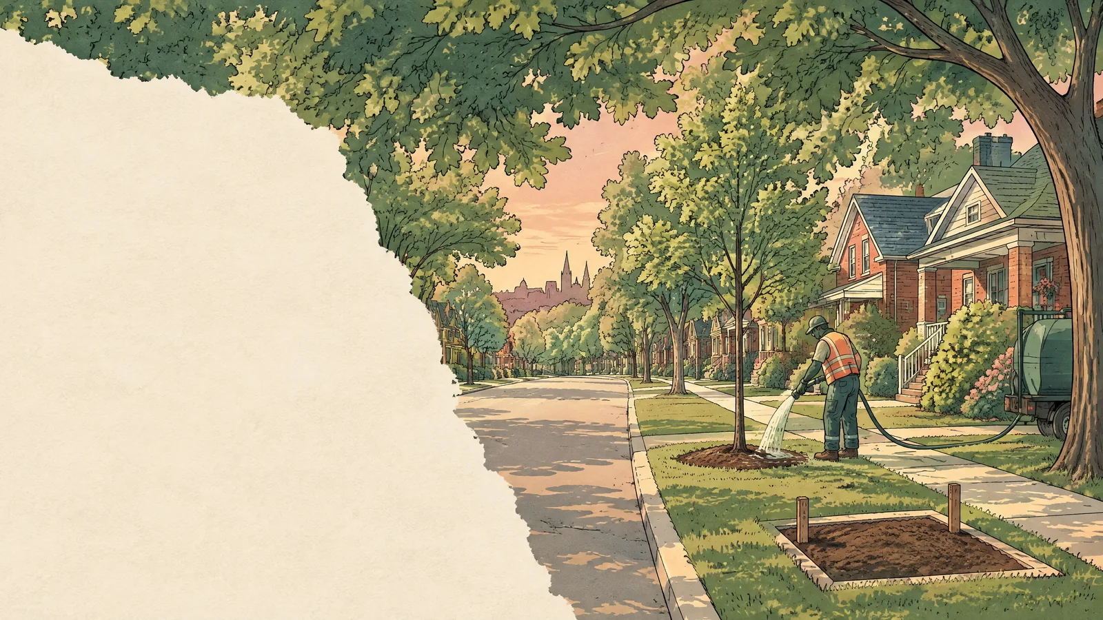
Every street with room for a tree should have one, and every tree the City plants should be maintained long enough to matter.
St. Catharines has a canopy target, a forestry service council voted to protect, and an asset plan that already values the natural-asset inventory that includes its street trees. What it doesn't have is a budget that matches the target, a published ward or neighbourhood equity table, or a written plan for who plants what. All three are fixable from a council seat, and none of them is expensive.
Last updated: September 26, 2026
Where things stand
The City's own documents tell the story.
- In 2011, the Urban Forestry Management Plan measured canopy cover at 15 to 17 per cent and set a target of 30 per cent by 2030. It also estimated that more than 65 per cent of the city's trees were on private property and noted there was then no City private-tree by-law. Niagara Region now regulates woodlands, including delegated small woodlands in St. Catharines, but ordinary individual private trees remain outside a general City private-tree by-law.
- By 2024, canopy was measured at about 22 per cent, using Niagara Region's 2021 aerial LiDAR survey. The two measurements used different methods, so they aren't a clean comparison, but the direction is up.
- In January 2024, the proposed City budget would have reduced City forestry staffing and relied more heavily on contractors. Residents filled the council chamber to object, and council restored the funding so the 2024 status-quo service-delivery model remained in place. I will protect the City's in-house forestry capacity rather than reopen a cut council reversed.
- In August 2024, council lowered the canopy target from 30 to 25 per cent. Staff said about three square kilometres of City-owned land was suitable to contribute toward the eleven square kilometres estimated for the old 30 per cent target, subject to competing uses. At the meeting, staff said reaching even 25 per cent would take roughly 260,000 trees over six years, and that a report would follow with target years and the resources required to meet them.
- In 2024, the City planted about 3,400 trees and gave away another 1,100, with a 96 per cent survival rate.
Do the arithmetic on staff's own figures: 260,000 trees over six years is about 43,000 a year, roughly thirteen times the current planting rate. The target and the budget do not match. The report that was meant to reconcile them is the first thing I would ask about.
There is one more number, and it is the one this page is built on. The City's 2025 Asset Management Plan carries an inventory of City trees, including street trees and some park trees, plus shoreline protection, as a natural-asset class with a replacement value of about $207 million. It shows an average annual gap of roughly $1.4 million between anticipated funding and the level of service the plan proposes for that class.
What trees do, and what they don't
I want to be precise here, because a councillor who overclaims on trees loses the argument the first time an engineer is in the room.
Heat.
This is the strongest case. Health Canada cites a Japanese study that found the daytime temperature of asphalt could be up to 20 degrees hotter than grass. A study of 544 Toronto census tracts across four extreme-heat events found that tracts with less than 5 per cent canopy had roughly five times the heat-related ambulance calls of tracts above that line. Canopy is one factor among several, but it is one the City controls. St. Catharines' 2021 Climate Adaptation Plan committed the City to identify the neighbourhoods most vulnerable to extreme heat. I could not locate a final public City heat-risk or vulnerability map on the plan page or in its 2023–25 progress reports.
Ordinary rain.
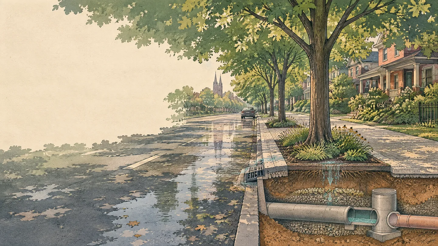
In a paired-catchment study in Fond du Lac, Wisconsin, street trees reduced growing-season runoff by about 6,376 litres per tree across 42 storms. A Manchester plot experiment found that small trees and their associated pits cut runoff from asphalt by up to 62 per cent. Both are site-specific results, but they show why trees and planted soil help with ordinary rain.
Extreme storms.
Trees do not stop basement flooding in a 140-millimetre storm. In the Wisconsin paired-catchment study, peak discharge was generally unaffected by removing 31 street trees; evidence for large-storm peak-flow control remains limited. A U.S. Forest Service i-Tree Hydro scenario for Toronto's Don Watershed found that doubling modelled tree cover reduced total flow by about 2.5 per cent over a seven-month simulation. Trees and permeable surfaces are part of the stormwater toolkit, not a substitute for pipe capacity. After this summer, the City needs both, and it should be honest about which one does the heavy lifting.
Why the canopy isn't evenly spread
In a 2020 study of selected urban census tracts in the Toronto, Montreal and Quebec City urban areas, tree cover was positively associated with median family income and negatively associated with renter share. The pattern is not universal or proof of causation. Plausible structural constraints include smaller lots, more pavement, apartment forms with little planting space, and boulevard programs where the City plants the tree and the resident next to it is expected to water it. Renters usually cannot plant without an owner's permission, and the City's 2011 plan estimated that more than 65 per cent of its trees were on private property.
Niagara Region already publishes a one-metre canopy classification that covers St. Catharines and can be analysed by census dissemination area or block. What I could not find is a City-published ward or named-neighbourhood canopy-and-equity table. Staff could aggregate the existing data without new fieldwork, using authorized GIS data and current boundaries. Toronto, Ottawa and Montreal all publish public canopy-and-equity priority mapping, but their methods differ: Toronto and Ottawa use Tree Equity Scores, while Montreal uses a six-criterion priority-greening grid. Until St. Catharines publishes its own local table, "equitable distribution" is a slogan without an address.
The Downtown Association's 2022 street-tree survey counted 256 trees in the core, with only six over 50 centimetres in diameter at breast height, down from nine in 2016. Downtown's canopy is young and small, and the City decides what replaces it.
What I would do
Each of these attaches to something the City has already written down. None requires a new department, and the most expensive one is a gap the City's own asset plan already reports.
1. Get the report council was promised.
In August 2024, staff committed to a report setting target years and the resources needed to hit them. If it has not come back, I will ask for it in my first months on council. If it has, I will ask what was done with it. A target with no year and no budget is not a target.
2. Fund trees at the service level the City's own plan proposes.
The Asset Management Plan shows an average annual $1.4-million gap between anticipated funding and the proposed service level for its natural-asset class. Closing it should be a decision council makes in the open at budget time, not something that stays unfunded by default. Deferred maintenance is a hidden tax increase, and trees are no exception: a tree that dies at year three because nobody watered it costs the full price twice.
3. Publish a neighbourhood canopy map, and plant where it's lowest.
Ask staff to produce a canopy table by ward and named neighbourhood from the Region's existing classification, then combine it with locally appropriate census and heat-vulnerability indicators and publish the method. That follows the Toronto and Ottawa tree-equity precedent without pretending their formulas are identical, and it would help complete an action item that has sat in the City's Climate Adaptation Plan since 2021. Then direct boulevard planting to the streets that score lowest, instead of waiting for a request form that only reaches people who fill it out.
4. Put a written City–community partnership on paper.
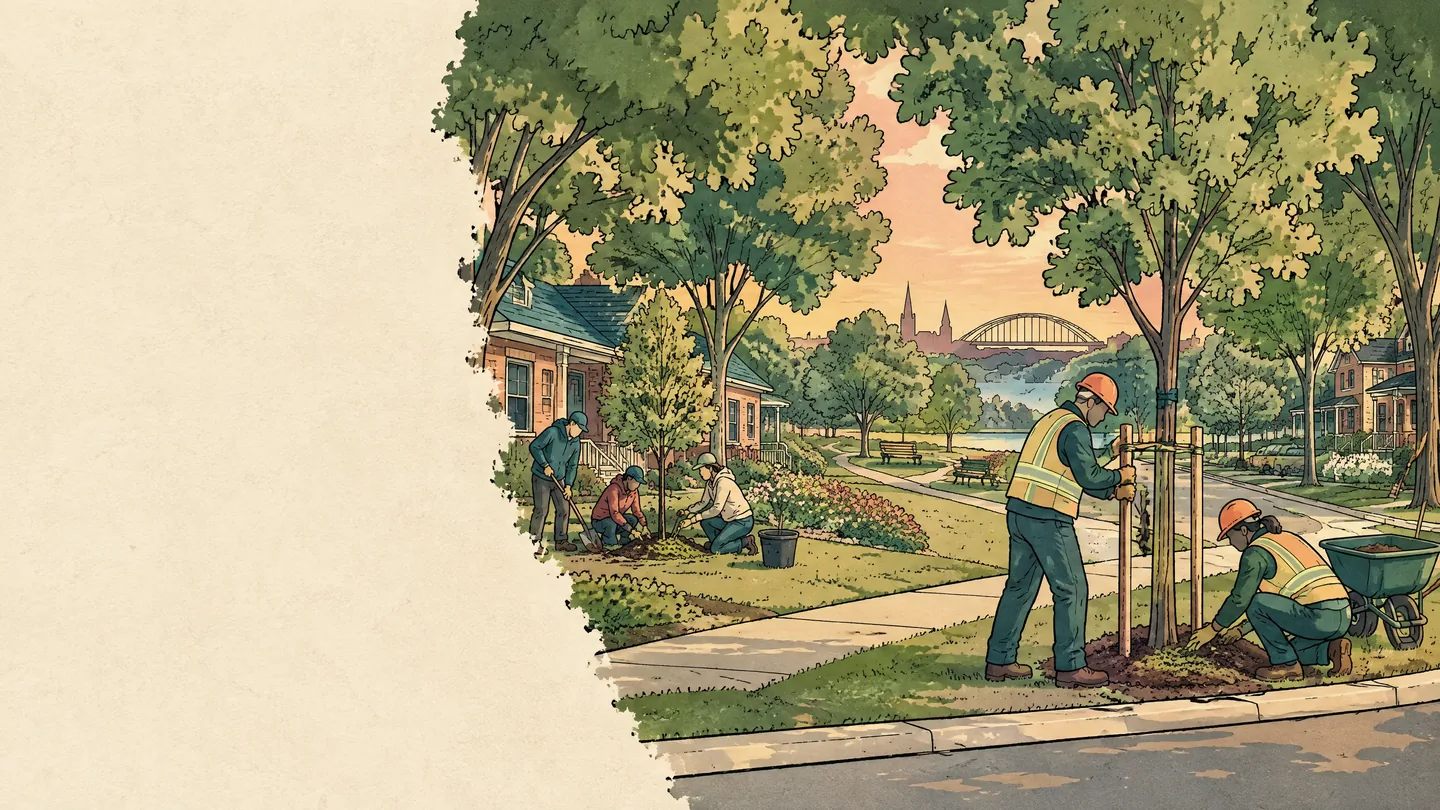
Kitchener's model is the working template: the City manages planting on public land and funds a partner organization to plant on private property, with a first free tree offered to a limited number of households in designated low-tree-equity neighbourhoods. In St. Catharines, the split already exists in practice. Community volunteers go door to door and get trees into yards; City crews plant boulevards. What's missing is an agreement that says so, funds the private-property side, and tracks survival. Federal tree-planting funding through the Green Municipal Fund has covered up to half of eligible costs and held back part of the grant pending a one-year report that includes survival rates, although the program is not currently accepting applications.
5. Require trees and soil in new development, starting with the GM lands.
Renters get trees through building rules, not landlord goodwill. On applicable developments, site-plan authority can require trees and landscaping. Toronto's Green Standard for mid- and high-rise residential and non-residential development requires each separate tree-planting area to have access to at least 30 cubic metres of soil, and its street-frontage standard is 30 cubic metres per tree. St. Catharines' 2026 Community Improvement Plan now requires Tax Increment Finance and Brownfield Tax Increment Finance applicants to propose at least six of eight green development standards; one is a shade tree for every ten surface parking spaces, but none sets soil volume. I would ask staff to bring a defensible local tree-and-soil standard to council. The former GM site is 50 acres of future streets and frontages in the middle of this ward, and the City will set the conditions when it is redeveloped.
6. Put green infrastructure inside the flood review.
The current Flood Resilience Task Force mandate already calls for green infrastructure and nature-based solutions alongside traditional infrastructure. I would ask its work plan to address soil, canopy and permeable surfaces explicitly, and ask staff to report publicly on the status of the Climate Adaptation Plan's Storm System Master Servicing study. Trees' contribution is small and steady; pipe capacity still does most of the work.
Who does what
- City council adopts the target, funds the plan, and sets the development standards.
- City forestry staff plant and maintain public trees, oversee delivery, and build the map. The City's in-house forestry capacity stays protected.
- Community groups do what the City can't do at scale: knock on doors and get trees onto private property, where most of the canopy is. They should not be carrying the City's administrative load to do it.
- Residents get a boulevard tree by asking, or through a neighbourhood campaign, and then water it. The City should be straight that watering is a real ask, and support it.
- Niagara Region measures the canopy and runs public health, including heat. The City should use the Region's data rather than wait for someone else to map its own neighbourhoods.
What I won't promise
- A canopy number that fixes flooding. It doesn't, and the section above says why.
- A private tree by-law I haven't seen. The City's 2011 plan estimated that more than 65 per cent of its trees were on private property and noted there was then no City private-tree by-law. In 2019, staff recommended against a proposed by-law after consultation found 59 per cent opposed; General Committee referred the issue to the Green Advisory Committee, and Niagara Region was given delegated protection for small woodlands. I won't promise a by-law that hasn't been designed. What I will ask for first is the number that debate needs: how much mature individual-tree canopy the city loses on private land each year. Without it, both sides are guessing.
- A tree count I can't cost. In 2022, council asked staff for a work plan to plant 100,000 trees in ten years. By 2024, the City was planting at about a third of that pace, and staff said most of the balance would have to come through community partnerships. I would rather commit to a budget line and a map than to a round number.
Sources
Everything on this page comes from public documents. If you want to check any of it:
City of St. Catharines documents
- Urban Forestry Management Plan (2011)
- 2025 Strategic Plan Progress Dashboard (2024 planting, giveaway, survival and canopy figures)
- 2025 Asset Management Plan (natural assets value and funding gap)
- Climate Adaptation Plan (2021)
- January 22, 2024 Council budget minutes (forestry service-delivery decision)
- Mayor Siscoe addresses recent flooding and the path forward, August 10, 2026
- Flood Resilience Task Force mandate
- Trees, Boulevard Trees and Tree Giveaway pages
Niagara Region
Council decisions as reported
- The Pointer, January 16, 2024 (forestry budget delegations)
- The Pointer, August 9, 2024 (staff report recommending the 25 per cent target; 100,000-tree work plan; planting pace)
- The Pointer, August 19, 2024 (council vote on the 25 per cent target; 260,000-tree estimate; report promised)
- The Regional, August 24, 2024
Downtown
Trees, rain and heat
- Selbig et al., “Quantifying the stormwater runoff volume reduction benefits of urban street tree canopy,” Science of the Total Environment (2022), U.S. Geological Survey
- Berland et al., “The role of trees in urban stormwater management,” Landscape and Urban Planning (2017)
- Nowak et al., “Assessing Urban Forest Effects and Values: Toronto's Urban Forest,” USDA Forest Service NRS-79 (2013)
- Health Canada, “Reducing urban heat islands to protect health in Canada” (2020)
- Graham et al., “The relationship between neighbourhood tree canopy cover and heat-related ambulance calls during extreme heat events in Toronto,” Urban Forestry & Urban Greening (2016)
Canopy and income
Delivery models and standards
- City of Kitchener, Community Canopy
- REEP Green Solutions, Backyard Tree Planting and Community Canopy
- Conway et al., five-year retention of LEAF backyard trees, Urban Forestry & Urban Greening (2025)
- City of Ottawa, Tree Program Review – Early Actions, staff report (June 7, 2024)
- Toronto Green Standard, Version 4 (soil volume and tree requirements)
- St. Catharines 2026 Community Improvement Plan, staff report and schedules
- Ontario Planning Act, section 41 (site plan control)
- Green Municipal Fund, Growing Canada's Community Canopies
Last updated: September 26, 2026